Flood risk projections
MIT uses the City of Cambridge projections as a planning basis for campus resiliency and adaptation because these represent the best available, locally-scaled projections; align the campus with local regulatory resiliency planning standards; and enable effective planning across campus and City scales. MIT will continue to evaluate new and emerging research to inform its climate resiliency and adaptation planning.
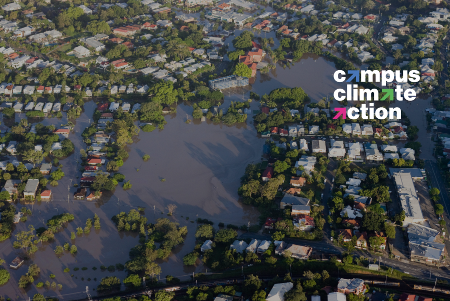
Precipitation-driven flood risk from Increasingly severe rain storms
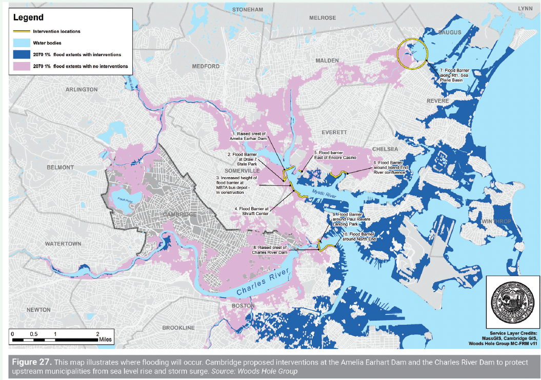
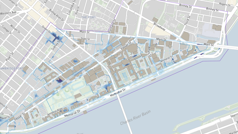
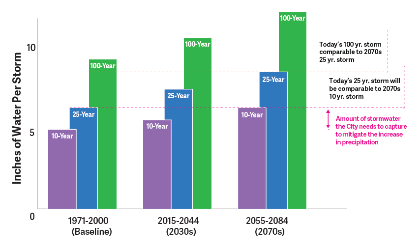
Flood projections from the City of Cambridge Climate Change Vulnerability Assessment and Climate Resilient Plan downscale projections from global climate models and show that the most immediate and near-term flood risk facing MIT is the increase in frequency of extreme rainfall which can cause urban surface flooding by overwhelming stormwater infrastructure. By 2070, compared to today, the City of Cambridge is likely to experience:
- An additional 1.5 inches of rainfall during 24-hour rain events with a 10-year return (or 10% annual) probability of occurrence
- An additional 2.8 inches of rainfall during 24-hour rain events with a 100-year (or 1% annual) probability of occurrence
This graphic below illustrates how today’s “100 year” or 1% annual probability event yielded about 8” of rain over 24 hours during the rainfall baseline averages of 1971 through 2000. Under a changing climate, 8” of rain over 24 hours is projected to become much more common by 2070 with a frequency closer to a “25 year” or 4% annual probability of return. Similar shifts are anticipated with today’s 4% annual probability storm becoming closer to a 10% annual probability event by 2070.
Changing flood predictions for Cambridge (City of Cambridge, Climate Vulnerability Assessment, 2015)