


Events
IAP Course: Eyes in the Sky
January 18-24, 2022
10:00 AM
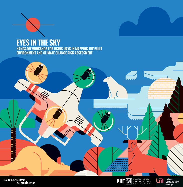
Hands-on Workshop for using UAVs in mapping the built environment and Climate Change risk assessment (Non-credit)
Enrollment Limit: 15 students
Complete this online form to sign up
Drones are providing us with new ways to map, monitor, and measure our changing landscape. Advances in digital image processing enable one to go from flying a drone to working with accurate maps and 3D models in a matter of hours. In this workshop, students will learn how to use drones and other geospatial technologies to help them better understand our changing environment. Upon completion of this workshop, students will have theoretical and applied knowledge that will aid them to use UAVs in various applications.
In this workshop, students will gain hands-on experience with drone vehicles, sensors, image processing software and applications. With the proliferation of drones there are increasing opportunities to use drones for scientific remote sensing data acquisition and applications. This workshop focuses on understanding the fundamentals behind acquiring imagery data with drone-based cameras (e.g. multi-spectral and thermal) and processing the data for various applications.
Learning outcomes
• Understand how to use drones as a platform to acquire data
• Understand components and functions of a drone system, DJI as the main platform
• Understand the photogrammetric principles of drone-based image acquisition and processing in Drone Deploy platform
• Understand basic flight planning and data acquisition with a drone
• Develop insight into drone operation and basic maneuvering.
• Understand how to operate various drone-based sensors, RGB camera, LiDar, and Thermal.
• Develop the ability to process drone-derived raw data imagery (RGB camera, Multispectral, Thermal, LiDAR) to various applications.
• Gain oversight of the complete mission pipe-line, from planning to final product.
• Learn to present research proposals and complete a project as a team member
Format
Students will work in teams of 3-5 students to apply basic flight planning and flight procedures to a mapping problem. Each team will work with a qualified flying instructor during the data collection process to develop a flight checklist, flight plan, GCP plan and produce an 2D orthomosaic and 3D model from UAV data using drone deploy platform. Each team will present the processing output at the end of the workshop and key insights on using UAVs in urban mapping and climate change problems.
Notes
• Students will not be required to acquire their own data as the data will be acquired by the qualified drone instructors with students participating in the data collection.
• This course will not lead directly to certification of students for operating a drone.
• The course is not about flying drones, but about understanding how to acquire and process remote sensing data.
Complete this online form to sign up
Recommended Reading
Jensen, John R, 2017. Drone Aerial Photography and Videography: Data Collection and Image Interpretation. Amazon Kindle store or Apple iBooks store. NOTE: The Amazon Kindle store version is recommended as it can be viewed on either the Microsoft Windows or the Apple operating systems.
Course Instructors: Norhan Bayomi, Postdoctoral Fellow, Building Technology Program, MIT Environmental Solutions Initiative; Prof. John E. Fernandez, Director of the Urban Metabolism Group (Building Technology Program), Director of MIT Environmental Solutions Initiative.
Co-Instructor: Marcela Angel, Research Associate, MIT Environmental Solutions Initiative.
Schedule
Tuesday, January 18:
- Lecture: Introduction to UAVs Platform and sensing applications (10:00 to 11:00 am)
- Lecture: UAVs application in the Built Environment - Thermal Imaging (11:30 to 12:30 pm)
- Tutorial: Class Structure and field study regulations (1:30 to 2:30 pm)
Wednesday, January 19
- Drone Operations 101 (8:00 to 11:00 am Class session A)
- Basic Flight Training (12-1pm Class session B)
- Field Training Session (1 – 4 pm)
Thursday, January 20
- Lecture: UAVs application in Climate Change Risk Assessment (8:00 to 9:00 am)
- Drone Data Processing Mapping & Modelling (9:30 to 12:30)
- Field Training Session (1 – 4 pm)
Friday, January 21
- Lecture: UAVs Data Type and Processing Platforms (9:00 to 10:00 am)
- Field Training: Hands on Data Collection with drones in Briggs Field
Monday, January 24
- Projects Presentation (10-1)
- Final Tips (1-2 pm)