Heat and flood risks are two of the most critical threats climate change poses to our planet. More specifically, there has been a global year-over-year increase in:
flooding from more frequent and high-volume rains;
flooding from storm surges and rising sea levels; and
extreme heat events.
The MIT campus and the broader region are increasingly subject to these threats—and that’s where the “Resiliency & Adaptation Roadmap” comes in. This is MIT’s plan for mitigating climate-driven risks, becoming more resilient in the face of climate change, and reducing MIT’s impact as a campus on the community around us, and on our planet. The forthcoming roadmap builds upon nearly a decade of past work.
Creation of the roadmap is led by a team including the Office of Sustainability, Campus Planning, and Campus Services and Stewardship with support from faculty, and engineering and facility staff who know every inch of the campus and how it functions; risk, insurance, and climate science experts who can help us assess what we’re facing; emergency management professionals who can help us with our response; and dedicated students who are individually and collectively driving efforts to foster a more climate-resilient campus.
Resiliency work on campus ensures that every aspect of how we plan, operate, build, and react to challenges makes the least impact on our climate. Like everything else at MIT, meeting the challenge has to begin with data. But how do we gather the data we need?
While catastrophic weather events have been happening for as long as we have records of our weather, the kinds of records kept even a couple of hundred years ago don’t give us enough concrete data to predict what’s coming next with the degree of accuracy we need to make smart decisions for our safety and wellbeing.
Beyond that, there’s a degree of difficulty in gauging local risks—like a once-in-every-100-years catastrophic event—with the most readily available global climate data.
The research-driven response
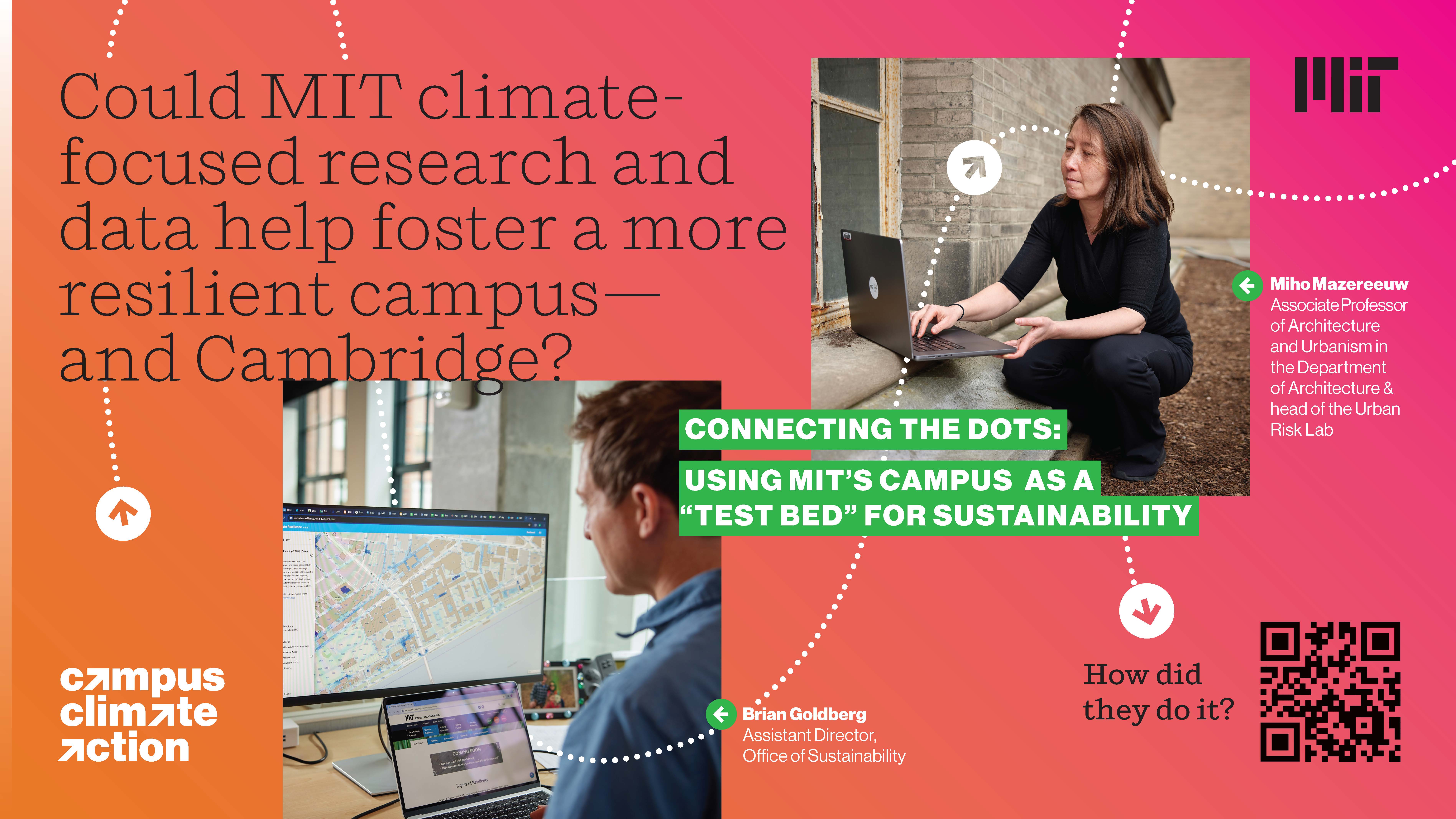
Fortunately, MIT’s own Miho Mazeereuw is on the case—and not just for MIT, but on behalf of communities worldwide. Mazereeuw heads up the MIT Urban Risk Lab, an interdisciplinary lab that uses design and technology to develop risk-reduction concepts to meet pressing climate challenges. Her work is directly tackling the lack of data needed to address heat risks in particular.
The Urban Risk lab is helping MIT implement “downscaling”, which is the term given to the process of narrowing down data inputs to understand temperature patterns within a smaller area—a process that will help the MIT team quantify and address threats to MIT, and to the communities around MIT.
To this end, the Urban Risk Lab has supported the placement of sensors across the MIT campus and on MIT vehicles, as well as other key placements in the region, to begin mapping patterns in local heat levels—input that will give us a more concrete sense of how our immediate environment is developing.
With more accurate and localized data, MIT can not only plan for more efficient cooling measures that have less impact on the energy grid, we can also develop responses to heat threats that will better serve our community, and best serve the people living and working around us.
This is just one part of the work that’s going into the Resiliency & Adaptation Roadmap, which you can learn more about here. To learn more about MIT’s Fast Forward commitments, start here. To learn about MIT’s Campus Climate Action-specific efforts, head here.


